Pine Hills Nature Preserve
Location: Take Hwy. 231 south from Lafayette (or West Lafayette, if they ever get that bridge finished) to Crawfordsville. Take 47 south from Crawfordsville to Hwy. 234; turn right and follow 234. The highway will turn to the north (right) just before the entrance to Shades State Park; keep following it and you will come to the Pine Hills Nature Preserve.
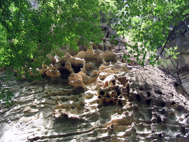
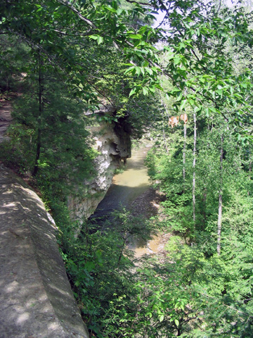
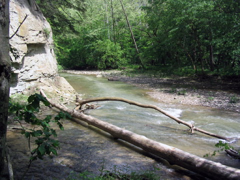
Description: Pine Hills contains several unique formations known as backbones, very narrow cliffs with very sheer sides. After walking through the woods a short way the path comes out on top of one of these backbones. There are handrails along the path, and you will appreciate their presence while you get used to the directness of the fall on either side. Look here for the hemlock trees, a conifer with feathery leaves; they’re not common in Indiana. The path descends a stairway to a loop trail (actually two loop trails, like a figure eight). The loop to the right wanders around the valley floor with some good views of the cliffs and a former mill site. The loop to the left takes you right up to Devil’s Backbone, which you can climb up and walk along the top of if you don’t suffer from vertigo--there are no handrails here and the top is about four or five feet wide with sheer drops on both sides. The main part of the loop goes along below the backbone and under some unusual "honeycombed" sandstone cliffs.
Nearby Points of Interest: Shades State Park and Turkey Run State Park . North of Pine Hills on Hwy. 234 is a covered bridge, also a canoe livery for trips on Sugar Creek.
Cautions: You won’t believe how sheer the cliffs are on these backbones. Hold on! People have been badly injured in falls here--be sensible.
Ownership: Indiana Dept. of Natural Resources
| National Forest |
|---|