Big Walnut Nature Preserve
Location: From the intersection of Highways 231 and 36, go east on 36 through the town of Bainbridge and several miles later turn north on CR 500E; come to a T and turn right, then left again onto CR 525E, which, not too long afterwards, jogs back to the west and becomes - surprise! - CR 500E again. Don't you just love county roads? Further along there's another T with CR 900N. Turn left (west), follow the road through a one-lane covered bridge, built in 1915, and up the hill where the parking area is on your left.
Description: Just under 3000 acres. Yup, it's a big one. You youngsters probably don't remember this, but the Army Corps of Engineers wanted to dam Big Walnut Creek in this area about 37 years ago, and were stopped by the actions of a few dedicated conservationists. Citizen action can make a difference; Alton Lindsay, author of Natural Areas of Indiana (the original inspiration for this website), wrote in his book that the site would soon be lost, and most other people had given up too, but a few fought on and won in the end. The whole scenario was repeated a few years later when they wanted to dam the Wildcat Creek near Lafayette, too. That rascally Army Corps of Engineers! They lost that one, too.
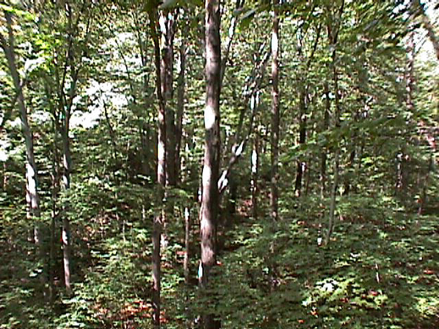
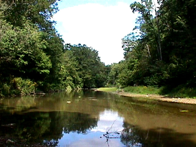
But enough of these hazy remembrances. There's only one trail in the preserve, and it starts out pretty dull, just moseying through the woods by the edge of a field. But there are a lot of very big trees to be impressed by. Then, just when you think they've forgotten about the area's namesake (Big Walnut Creek), the path starts heading down the edge of a ridge, and things really get interesting. There's a little spur that goes off for a view of the Big Walnut, which is nice (if it's late September don't forget to touch the touch-me-nots); and as you follow the main loop around you begin to pass some very unusual terrain. The walls of the ravine reveal steeply tilted beds of slate, which litters the tributary creek at your right, and as you take another turn you cross another tributary running on a smooth slate bedrock (at least I think it's slate; I didn't have my geology field guide with me). Then it's back up another ridge, on stairs this time, and back to the beginning of the loop. There are a number of wildflowers there, none of which were in bloom when I visited, but they should make for an interesting spring trip. As you can tell, I enjoyed my hike there. I think you will too.Ownership: Indiana DNR, Nature Conservancy
| National Forest |
|---|